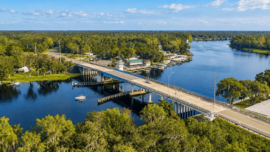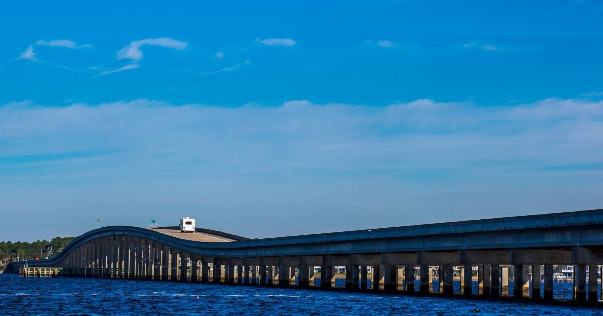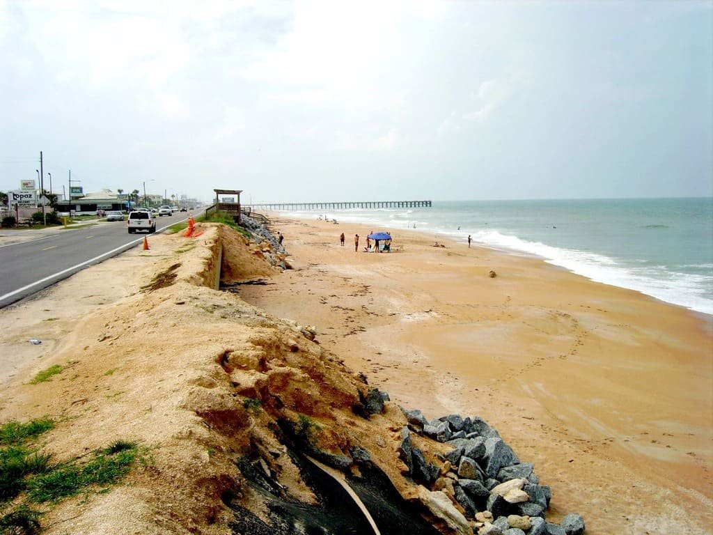
The Indian River Lagoon National Scenic Byway runs along Florida’s Space Coast, using two roads on either side of the lagoon. A1A follows the Atlantic barrier island, and US 1 runs through the mainland towns.
The lagoon is a national estuary with a wide range of plant and animal species. Much of the barrier island is protected, including Merritt Island National Wildlife Refuge, Canaveral National Seashore, and Archie Carr National Wildlife Refuge.
The same drive also passes Kennedy Space Center, along with beach towns like Cocoa Beach and Melbourne Beach. Pick one road for the drive and cross a causeway for the other side.
Route Details: Indian River Lagoon National Scenic Byway
Mile markers below are my estimates of distance from the north end, following one road.
Titusville (0 miles)
The byway starts just north of Titusville, which is also the east end of the 250-mile Florida Coast-to-Coast Trail. Titusville has two Tesla Superchargers, one with 16 stalls on Columbia Boulevard and one with 12 stalls on S Hopkins Avenue.
Merritt Island National Wildlife Refuge and Canaveral National Seashore (8 miles)
The Max Brewer Causeway leads from Titusville to Merritt Island National Wildlife Refuge and Canaveral National Seashore. The refuge and seashore share a stretch of undeveloped barrier island, which makes it one of the best places on the byway to see birds and manatees.
Kennedy Space Center (15 miles)
Follow State Route 405 to the Kennedy Space Center Visitor Complex. It has exhibits, bus tours, and launch viewing, and it takes most of a day if you do it properly.
Cocoa and Rockledge (30 miles)
Along US 1, Cocoa and Rockledge have older downtown areas on the lagoon. They are a good place to stop for lunch before crossing back to the beach side.
Cocoa Beach and Cape Canaveral (40 miles)
On A1A, Cocoa Beach and Cape Canaveral are the busiest beach towns on the route. State Route 528, the Bennett Causeway, connects them to the mainland.
Melbourne (60 miles)
Melbourne has a downtown on US 1 and a beachside on A1A. The Ais Lookout Point in Palm Bay, on US 1, is a stop on the official route.
Melbourne Beach and Archie Carr National Wildlife Refuge (75 miles)
South of Melbourne Beach, A1A passes Archie Carr National Wildlife Refuge, a long stretch of protected beach. The area is known for sea turtle nesting in summer.
Sebastian Inlet State Park (90 miles)
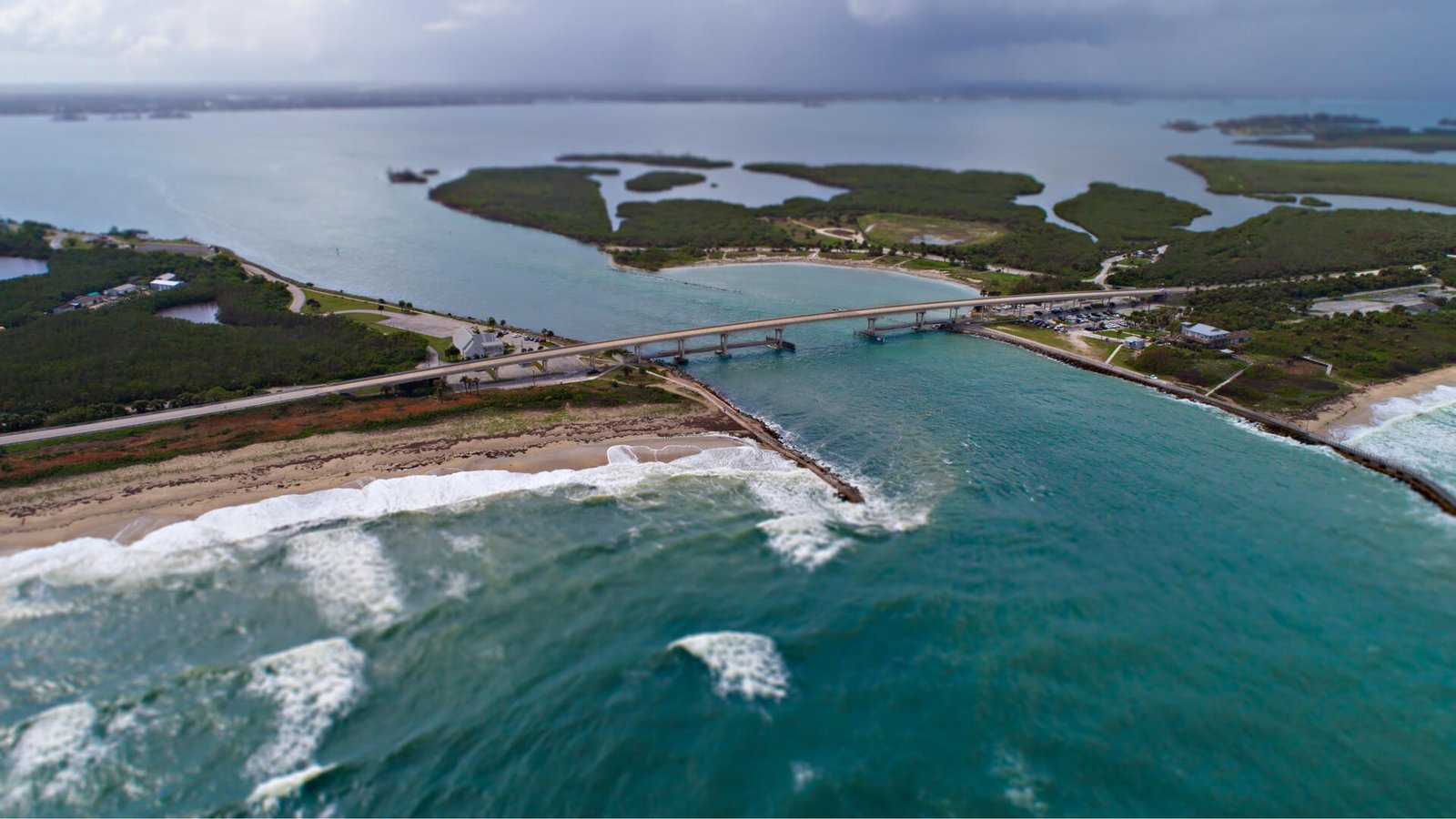
Sebastian Inlet State Park sits where A1A crosses the inlet between Brevard and Indian River counties. It has beach access, a marina, and fishing.
Sebastian and Pelican Island National Wildlife Refuge (100 miles)
Sebastian and Fellsmere are at the south end of the byway. Pelican Island National Wildlife Refuge is nearby, and Sebastian has an 8-stall Tesla Supercharger.
Wabasso (105 miles)
The byway ends at Wabasso Beach. The Wabasso Causeway connects the mainland road to A1A, so you can finish on either side of the lagoon.
Use the trip planner to build a day-by-day itinerary based on your available time and starting point.