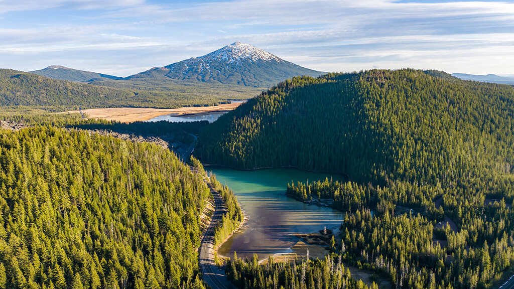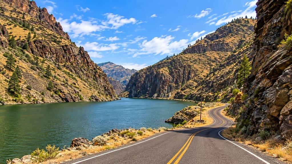
The Hells Canyon Scenic Byway loops 218 miles through Oregon’s northeast corner, encircling the Wallowa Mountains and skirting the rim of Hells Canyon, the deepest river gorge in North America.
This is the ancestral homeland of the Nez Perce tribe, and the byway crosses land shaped by Native American history as much as by geology. It earned National Forest Scenic Byway status in 1992, Oregon State Scenic Byway recognition in 1997, and later All-American Road designation, putting it in the same federal tier as the Pacific Coast Highway and Historic Route 66.
The loop combines two very different landscapes. The Wallowa Mountains, often called Little Switzerland for their alpine scenery, dominate the northern leg through Joseph and Enterprise. The southern leg through Halfway, Richland, and Baker City trades peaks for high desert ranchland and Oregon Trail history.
Services cluster in a handful of small towns along the way, with stretches of more than 80 miles between them. It’s a drive that rewards real planning, and real time, more than almost any other byway on this list.
Route Details: Hells Canyon Scenic Byway
La Grande (0 miles)
The byway begins in La Grande, a historic stop on the Oregon Trail reachable from I-84. It has the loop’s fullest services on the northern leg, making it a sensible starting point before heading into the Wallowa Mountains.
Elgin and Enterprise (40 miles)
Heading east on OR 82, the byway passes through Elgin before reaching Enterprise, the Wallowa County seat. This stretch introduces the rolling farmland and foothill scenery that builds toward the mountains ahead.
Joseph and Wallowa Lake (60 miles)
Joseph sits at the base of the Wallowa Mountains, next to Wallowa Lake, where a tramway climbs Mount Howard for sweeping alpine views. The town itself is known for a cluster of bronze foundries and public art, an unexpected cultural stop in such a remote part of the state.
Imnaha River and the Wallowa Mountain Loop Road (75 miles)
From Joseph, the byway follows OR 350 to Forest Road 39, briefly paralleling the Wild and Scenic Imnaha River, important spawning grounds for chinook salmon and steelhead trout. The road climbs into the Wallowa Mountains through fragrant pine forest, passing several Forest Service campgrounds along the way.
Hells Canyon Overlook (95 miles)
A 2-mile paved spur off Forest Road 39 leads to the Hells Canyon Overlook, where interpretive panels explain the canyon’s formation and the Snake River far below. This is the byway’s signature stop and the best view of the canyon accessible without a river trip.
Halfway and Richland (130 miles)
Forest Road 39 ends at Oregon Highway 86, where the byway reaches Halfway, a former mining town that takes its name from sitting halfway between Pine and Cornucopia. Richland, a bit farther west, is another small services stop along this stretch.
Hells Canyon Dam detour (via Copperfield, 150 miles)
A recommended side trip from Halfway leads down to Copperfield on the Snake River, then along the river road to the Hells Canyon Dam, where a visitor center covers the canyon’s geology and ecology. This detour gives a river-level perspective to contrast with the overlook earlier in the drive.
Baker City (218 miles)
The byway closes the loop in Baker City, once known as the Queen City of the Mines. The National Historic Oregon Trail Interpretive Center here covers the region’s pioneer and mining history with an actual section of Oregon Trail wagon ruts, and downtown Baker City has more than 100 buildings on the National Register of Historic Places.
Use the trip planner to build a day-by-day itinerary based on your available time and starting point.