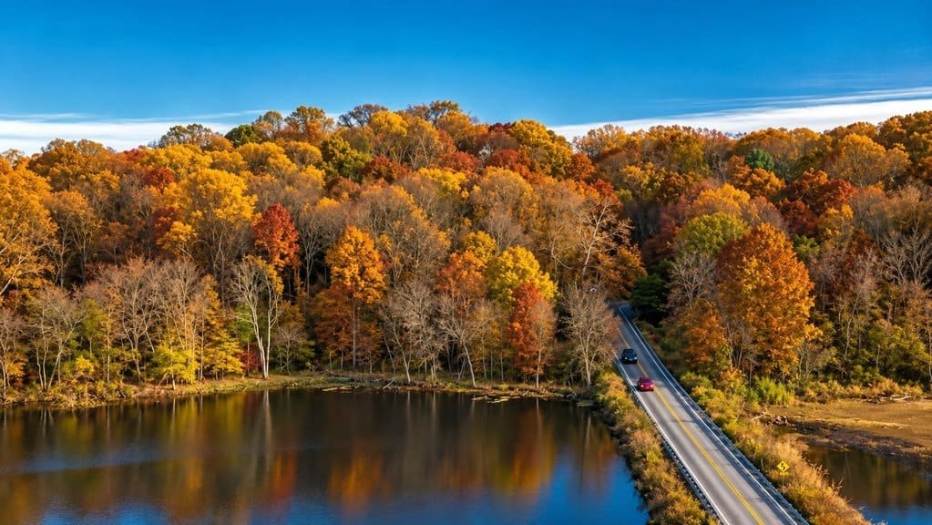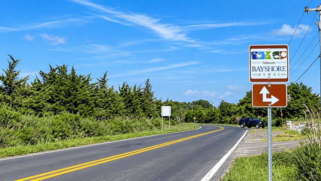
The Delaware Bayshore Byway follows Route 9 for 157 miles along the Delaware River and Bay, from New Castle in the north to Lewes in the south. It traces what locals have long called the state’s quieter, wilder side.
Delaware’s highway department first recommended the road for scenic designation back in 1965, though it took until 2007 for Route 9 to become a state byway, and until 2021 for the Federal Highway Administration to name it a National Scenic Byway. The route was folded into the state’s broader Bayshore Initiative in 2012, a conservation partnership aimed at protecting the marshland and coastal communities the road passes through.
The drive covers fresh and saltwater marshes, fishing villages, colonial-era towns, and 19 marked Discovery Zones that highlight the region’s history and ecology. Horseshoe crabs and migrating shorebirds are a seasonal draw each spring, and the corridor holds some of the largest preserved coastal marshland on the East Coast.
It’s a slower, low-key counterpart to Delaware’s beach highway a few miles east, built for travelers more interested in wetlands and small towns than boardwalks and outlet malls.
Route Details: Delaware Bayshore Byway
New Castle (0 miles)
The byway begins in New Castle, a colonial-era river town with a well-preserved historic district of cobblestone streets and 18th-century brick buildings. The New Castle County Courthouse, one of the byway’s anchor historic sites, sits right at the start of the route.
Delaware City and the C&D Canal (10 miles)
Delaware City sits near the eastern end of the Chesapeake and Delaware Canal, with a small historic waterfront and ferry access to Fort Delaware State Park on Pea Patch Island. A lock from the original 19th-century canal is preserved nearby.
Taylor’s Bridge and Reedy Island (20 miles)
Near Taylor’s Bridge, the byway passes close to the Reedy Island Range Rear Light, a historic navigational light visible from the road. This stretch runs along some of the route’s widest marsh views, with the Delaware River opening up to the east.
Dover and St. Jones Reserve (45 miles)
Dover, the state capital, sits just off the byway. The St. Jones Reserve, south of the city, has a two-mile nature trail with a quarter-mile boardwalk into the marsh, one of the byway’s best wildlife-viewing stops. The John Dickinson Plantation, another anchor historic site on the route, is nearby.
Milford (65 miles)
Milford is a working river town with EV fast charging installed specifically to serve this stretch of Route 9, along with a walkable downtown on the Mispillion River. It’s a reasonable stop for food and fuel before the byway continues south toward the wildlife refuges.
Prime Hook National Wildlife Refuge (85 miles)
Prime Hook National Wildlife Refuge protects a large stretch of tidal marsh and freshwater wetland, with trails and a visitor center covering the area’s birdlife. It marks the transition from the Bayshore Byway to the Historic Lewes Byway just south of Milton.
Slaughter Beach (90 miles)
Slaughter Beach is one of the smaller fishing communities along the byway and a well-known horseshoe crab spawning site each spring. It’s a quiet, undeveloped stretch of coastline compared to the resort towns farther south.
Lewes (100 miles of coastline / 157 miles driven)
The byway ends in Lewes, Delaware’s oldest town, founded in 1631. The Historic Lewes Byway continues from here as a separate 13-mile network covering the town’s maritime waterfront, historic districts, and a World War II-era fort, making it a natural extension for anyone with an extra day.
Use the trip planner to build a day-by-day itinerary based on your available time and starting point.