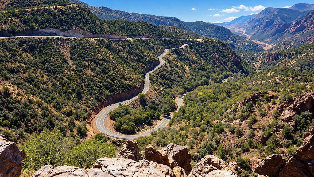
The Coronado Trail Scenic Byway runs about 120 miles up US 191 through eastern Arizona, climbing from the copper mining town of Clifton to the high White Mountains around Alpine and Springerville. The road is paved and rarely busy, but it has around 460 curves, so a drive that looks short on the map takes most of a day.
The name comes from Francisco Vásquez de Coronado, whose 1540 expedition searched this part of the Southwest for the fabled Seven Cities of Cibola. The highway itself dates to the 1920s. It began as a dirt road, and when it was dedicated in 1926 at Hannagan Meadow, it took a full day to drive from end to end.
The landscape changes a lot. The southern end is desert canyon and open-pit copper mining. The Coronado Trail Scenic Byway road then climbs through pine forest and switchbacks to elevations around 9,000 feet, with meadows, aspen groves, and views across the surrounding mountains.
Fuel and food are limited in the middle, and some sections have steep drop-offs with no guardrail, so this is a route to plan carefully.
Route Details: Coronado Trail Scenic Byway
Mile markers below are approximate distances from Clifton.
Clifton and Morenci (0-5 miles)
Clifton is a former copper-mining town on the San Francisco River, and the road runs right past the Morenci open-pit mine on the way north. This is the last easy place for fuel and supplies before the long climb, so top off the tank here or in nearby Safford.
Chase Canyon and the climb (10-40 miles)
North of Morenci, the road narrows and twists into Chase Canyon, then starts a long, steady climb. Curves come back to back through this stretch, and the road passes close to the canyon edge in places. Pull-offs give room to stop and take in the widening views.
Hannagan Meadow (70 miles)
At about 9,000 feet, Hannagan Meadow is where the route opens up. The 1926 dedication of the road took place here, and a historic lodge nearby was built to house travelers who took two days to make the trip. The meadow is a good place to stretch your legs and see how far the road has climbed.
Alpine (90 miles)
Alpine is a mountain village settled in the late 1870s, and it is the first real town north of Morenci. It has restaurants, lodging, and fuel, and it is a common place to break the drive into two days. The White Mountains Scenic Drive branches from here for anyone continuing toward Phoenix.
Sipe White Mountain Wildlife Area (100 miles)
Near Alpine, the Sipe White Mountain Wildlife Area sits in spruce-fir forest and is a good place to watch for elk, ospreys, and golden eagles. A short drive on a forest road leads to its trailheads and viewpoints.
Nelson Reservoir and Escudilla Mountain (110 miles)
North of Alpine the road passes Nelson Reservoir, a stop for boating, trout fishing, and picnics with views of Escudilla Mountain. Farther along, the forest thins, and the landscape shifts back toward grassland.
Springerville and Eagar (120 miles)
The byway ends in the twin towns of Springerville and Eagar. Springerville has the Madonna of the Trail monument, and Reed’s Lodge, a vintage western-style motor lodge, is a popular place to stay. Both towns have standard hotels and restaurants after the long drive.
Use the trip planner to build a day-by-day itinerary based on your available time and starting point.