The Colorado River Headwaters Byway follows the Colorado River through the first 80 miles of a journey that eventually stretches 1,450 miles to the Gulf of California. Downstream, this river irrigates much of the Southwest and carved the Grand Canyon. Up here, it’s a clear mountain stream working through meadows and canyons much like any other Rocky Mountain waterway.
The byway starts at Grand Lake, Colorado’s largest natural lake and an old resort town that grew out of a gold rush disappointment — miners who came for gold in the late 1800s stayed instead for ranching, fishing, and tourism once the gold didn’t pan out. It runs south through Granby, Hot Sulphur Springs, Parshall, and Kremmling before ending at State Bridge.
The Federal Highway Administration designated the route a National Scenic Byway in 2005, and USA Today later named it one of the best waterside drives in the country. The final stretch, a gravel road locally called Trough Road, climbs above Gore Canyon, where the young river cuts a gorge with walls rising more than 1,000 feet — home to the most difficult Class V whitewater in Colorado.
It’s a shorter, quieter counterpart to Colorado’s more famous mountain drives, built around watching a major river before it becomes what most people picture when they think of the Colorado.
Route Details: Colorado River Headwaters Byway
Grand Lake (0 miles)
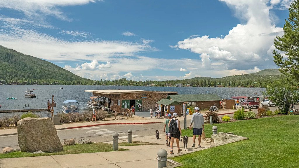
The byway begins at Grand Lake, established in 1881 at 8,369 feet and sitting on the largest natural lake in Colorado. The town’s boardwalk-lined Grand Avenue holds shops and restaurants in lodgepole pine buildings, and the Kauffman House Museum, a former hotel, preserves what the town’s early tourist era looked like. Adams Falls, a short hike from the lake’s east side, is an easy add-on before starting south.
Shadow Mountain Reservoir and Lake Granby (10 miles)
South of Grand Lake, the byway passes Shadow Mountain Reservoir and Lake Granby, both popular for fishing and boating. This chain of lakes marks the transition from the byway’s high mountain start toward the river valley proper.
Granby (17 miles)
Granby is a working ranching and recreation town along the byway, serving as a hub for outdoor activity in Grand County. It’s a reasonable stop for fuel and food before the byway continues into quieter stretches of river valley.
Hot Sulphur Springs (30 miles)
Hot Sulphur Springs takes its name from the natural hot spring pools that have drawn visitors for generations. The Grand County Museum here occupies the original 1924 Hot Sulphur Schoolhouse, alongside the county’s original courthouse, jail, and blacksmith shop, giving a fuller picture of the valley’s ranching-era history.
Parshall (40 miles)
Parshall is a small riverside community known mainly to anglers, sitting along one of the more productive fly-fishing stretches of the upper Colorado River. It’s a quiet midpoint on the byway with little in the way of services beyond what fishing outfitters provide.
Kremmling (55 miles)
Kremmling anchors a large ranching region, its town square framed by false-front buildings styled after the 1880s. The Continental Divide and the Gore Range rise on either side, and the Heritage Park Museum’s six historic buildings cover the area’s ranching, logging, and railroad history. South of town, the byway leaves pavement behind and turns onto Trough Road.
Gore Canyon and Trough Road (60-75 miles)
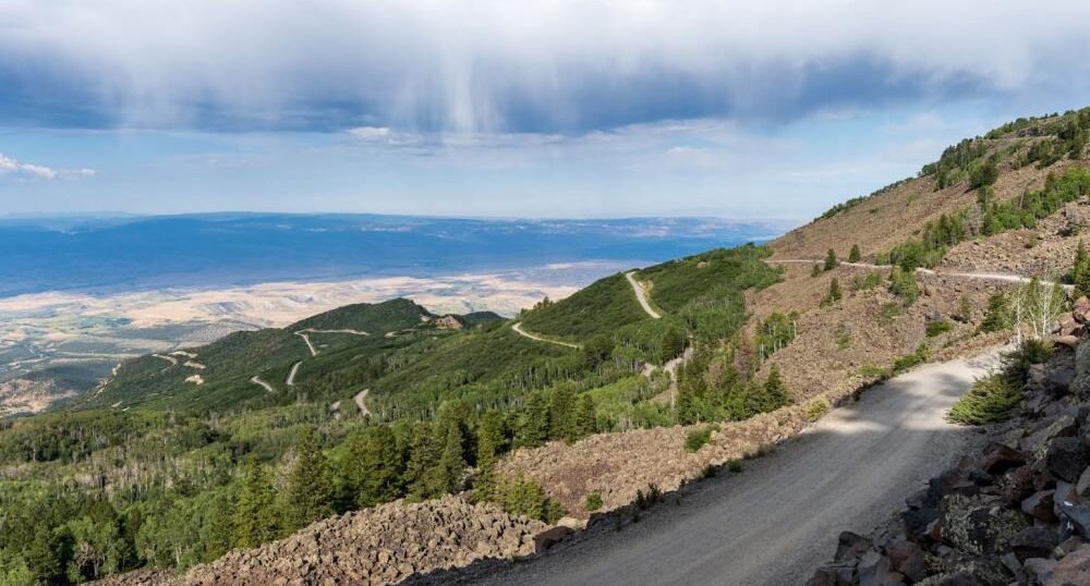
Trough Road is a 38-mile gravel route that climbs through sagebrush grassland and piñon-juniper woodland above Gore Canyon. Inspiration Point offers the byway’s best view into the canyon, where granite walls rise more than 1,000 feet above the river and experienced rafters run Colorado’s most difficult Class V whitewater below.
State Bridge (80 miles)
The byway ends at State Bridge, a small community built around the historic State Bridge Lodge, once a stagecoach stop and now a spot for river access, cabins, and live music events. It’s a fitting quiet finish to a drive built around watching a major river before it grows into the one most travelers already know.
Use the trip planner to build a day-by-day itinerary based on your available time and starting point.