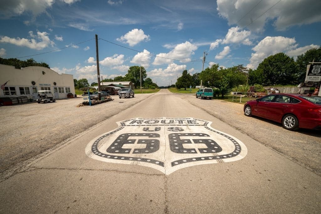
The Cherokee Hills Byway runs about 88 miles through the Ozark foothills of eastern Oklahoma, connecting Gore in the south to West Siloam Springs near the Arkansas line.
The route was developed in partnership between the Oklahoma Department of Transportation and the Cherokee Nation, and its central purpose is telling that history. This is land the Cherokee people resettled on after removal from the southeastern United States, and Tahlequah, the byway’s midpoint, has served as the Cherokee Nation’s capital since.
Alongside the history, the drive covers real Ozark scenery — Lake Tenkiller’s clear water, the Illinois River valley, and the Cookson Hills, all part of the lower reaches of the Ozark Mountains as they fade into eastern Oklahoma.
It’s a shorter, quieter byway than most of the famous routes on this site, built more for a deliberate day trip through Cherokee Nation country than for checking off scenic overlooks.
Route Details: Cherokee Hills Byway
Gore (0 miles)
The byway starts in Gore, a small town on the Arkansas River where State Highway 10 heads north into the Cookson Hills. Nearby is the Tahlonteeske Cherokee Courthouse Museum, housed in what was once part of the first Cherokee Nation capital in Indian Territory.
Lake Tenkiller (15 miles)
Lake Tenkiller, named for a Cherokee warrior, is one of the clearest lakes in Oklahoma and a longtime draw for scuba divers along with boaters and bass anglers. The byway follows the lake’s shoreline for a stretch, with several access points for stopping to take in the water.
Cookson Hills (25 miles)
North of the lake, the highway runs through the Cookson Hills, the lower edge of the Ozark Mountain range as it extends into Oklahoma. The hills gave the region its early reputation as rough, remote country, and the drive through them stays largely undeveloped.
Park Hill (40 miles)
Just south of Tahlequah, Park Hill holds some of the Cherokee Nation’s most significant historic sites, including the Murrell Home, an antebellum plantation house, and the Cherokee Heritage Center, which interprets Cherokee history and culture through exhibits and a reconstructed 1710s village.
Tahlequah (45 miles)
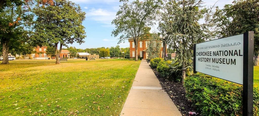
Tahlequah has served as the Cherokee Nation capital since Cherokee removal in the 1830s. Downtown holds the Cherokee National Prison, the historic Cherokee Nation Supreme Court building, and the tribal government complex, all within walking distance of each other. The town anchors the byway both geographically and historically.
Illinois River (55 miles)
North of Tahlequah, the byway parallels the Illinois River, one of Oklahoma’s state-designated scenic rivers and a popular destination for canoeing, kayaking, and rafting. Several outfitters along this stretch rent equipment for float trips on the river.
Oaks and Kansas (65 miles)
The byway continues north through the small Cherokee communities of Oaks and Kansas, where the drive turns quieter and more rural, with fewer stops but consistent views of the wooded hills surrounding the Illinois River valley.
Natural Falls State Park (80 miles)
Near the byway’s northern end, Natural Falls State Park centers on a 77-foot waterfall in a shaded box canyon, used as a filming location for the 1972 movie Where the Red Fern Grows. A short, easy trail leads from the parking area to a viewing platform at the base of the falls.
West Siloam Springs (88 miles)
The byway ends at West Siloam Springs, near the Arkansas state line, where travelers commonly connect to Siloam Springs, Arkansas, just across the border, for the next leg of a broader Ozarks road trip.
Use the trip planner to build a day-by-day itinerary based on your available time and starting point.