
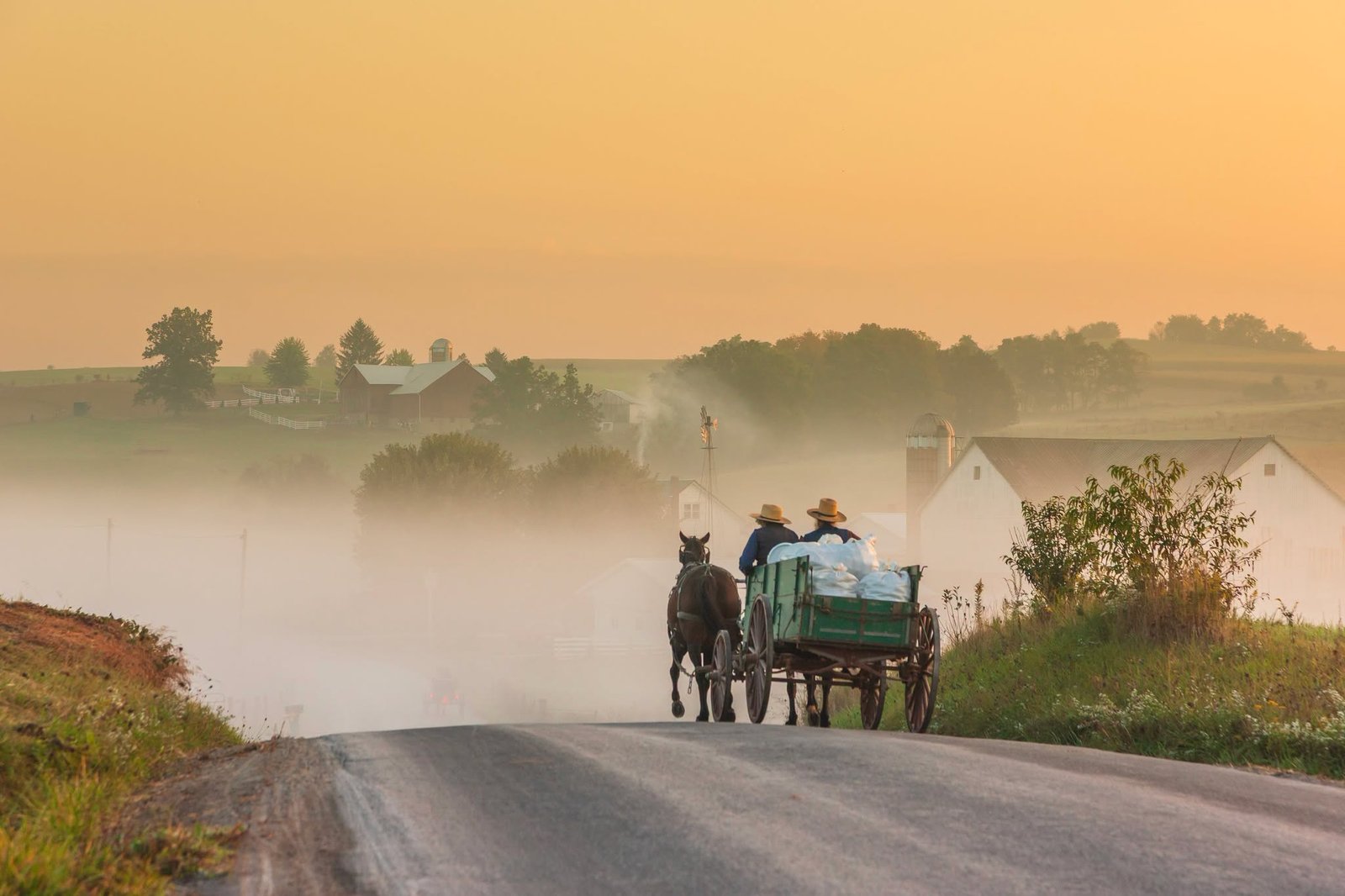
The Amish Country Byway winds through Holmes County, Ohio, and parts of neighboring Knox and Ashland counties, made up of 13 connected state and county routes rather than one single road.
Holmes County holds the largest Amish settlement in the world, and the byway was built specifically to let visitors experience that community’s farmland, small towns, and way of life without turning it into a spectacle. It received National Scenic Byway status in March 1998.
The drive passes through towns like Berlin, Millersburg, Walnut Creek, Killbuck, and Loudonville, connected by rolling hills, working farms, and roads shared with horse-drawn buggies. Because it’s a network rather than a straight line, most visitors treat it as a loop, picking a home base like Berlin or Millersburg and driving out to different stretches over a day or two.
Spring and fall bring the most active farm scenery, though the pace here stays slow and rural no matter when you visit.
Route Details: Amish Country Byway
Utica to Millersburg (about 30 miles)
The western end of the byway starts near Utica in Knox County along State Route 62, heading east toward Holmes County. Millersburg, the county seat, has a historic downtown with boutiques and restaurants, along with the Millersburg Glass Museum and the Victorian House Museum, both housed in the same building.
Millersburg to Berlin (about 10 miles)
Berlin is the byway’s commercial heart, known for its concentration of Amish-owned shops, bakeries, and restaurants serving traditional dishes. The Amish & Mennonite Heritage Center, just outside town, includes a cyclorama painting depicting the history of the Amish and Mennonite people from their European origins through settlement in Ohio.
Berlin to Walnut Creek (about 8 miles)
Walnut Creek runs along State Route 515, passing through the heart of another concentrated shopping district tied closely to Amish culture, including bulk food stores that serve the local community and now double as destinations for visitors buying local cheese, meat, and baked goods.
Walnut Creek to Killbuck (about 15 miles)
This stretch heads south and west through more rural farmland, reaching Killbuck, a smaller town along the byway with access to canoeing and fishing on the Killbuck Creek watershed.
Killbuck to Loudonville (about 20 miles)
The eastern stretch of the byway extends toward Loudonville, passing Wally World Riverside Resort and other camping and canoe-livery spots along the Mohican River. This area also holds the 300-foot Spellacy Covered Bridge, one of several historic covered bridges scattered through the region.
Use the trip planner to build a day-by-day itinerary based on your available time and starting point. Since this byway is a connected network rather than a single road, treat the planner’s route as one possible path through it rather than the only way to drive it.