The Flint Hills National Scenic Byway runs 47 miles along Kansas Highway 177, from Council Grove south to Cassoday, through one of the last significant stretches of tallgrass prairie left in the country.
The Flint Hills survived intact largely because their rocky, flint-laced soil never suited row-crop farming the way the rest of the Midwest’s prairie did. What’s left is a working ranching landscape that still looks close to what the Kaw, Osage, and other tribes who lived here would have seen, and close to what Santa Fe Trail traders saw as they passed through Council Grove two centuries ago.
Kansas designated the route a state scenic byway in 2005, and it carries National Scenic Byway status today. The drive passes through Morris, Chase, and Butler counties, linking Council Grove, Strong City, Cottonwood Falls, Matfield Green, and Cassoday, five towns that all grew up along the same trail corridor.
It’s a short drive, easily done in an hour, but the history in Council Grove and the open grassland views through the middle stretch reward slowing down well beyond the drive time alone.
Route Details: Flint Hills National Scenic Byway
Council Grove (0 miles)
The byway begins in Council Grove, one of the best-preserved stops on the historic Santa Fe Trail, with more than 24 historic sites including the Kaw Mission State Historic Site, the Hays House, the oldest continuously operated restaurant west of the Mississippi, and remnants of the original trail ruts. It’s worth a couple of hours before heading south on Highway 177.
Allegawaho Memorial Heritage Park (5 miles)
Just south of Council Grove, Allegawaho Memorial Heritage Park preserves the last home of the Kaw Nation in Kansas before their forced removal to Oklahoma in 1873. It’s a quiet, important stop that gives context to the region’s Native American history before the Santa Fe Trail era.
Open prairie and ranch country (15 miles)
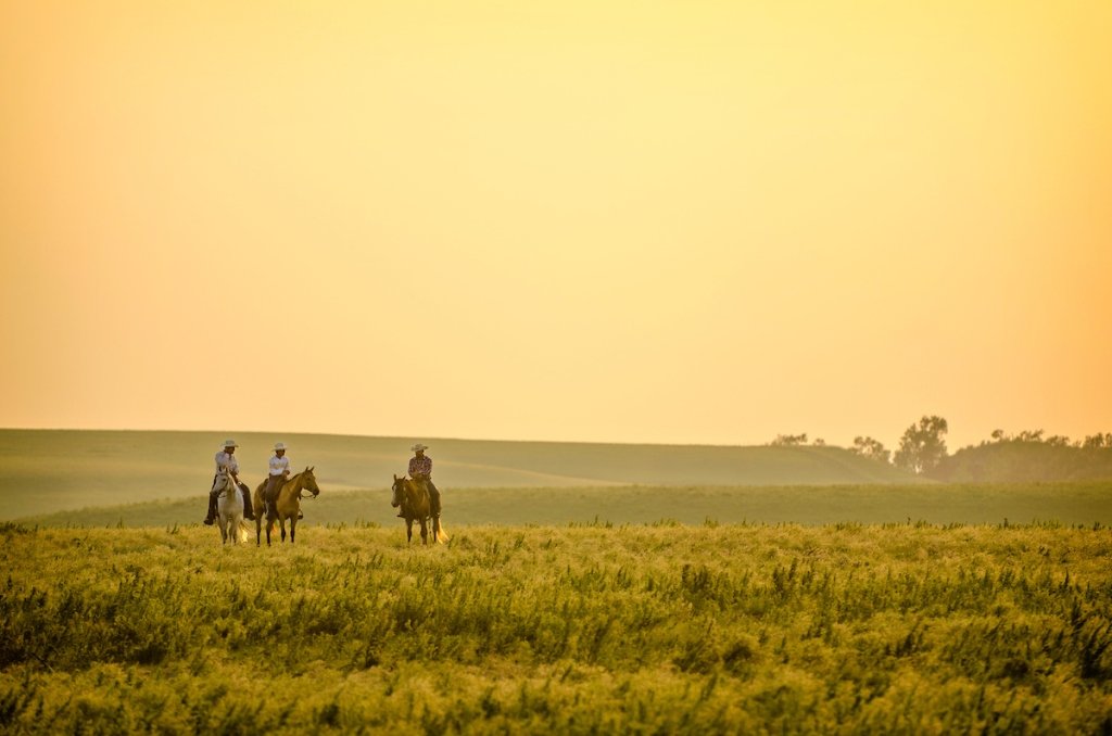
South of the heritage park, the byway settles into its core character: rolling tallgrass hills, limestone fence posts, and working cattle ranches that have operated on this land for generations. This stretch has few formal stops, but it’s the best section for simply watching the prairie roll by.
Tallgrass Prairie National Preserve (28 miles)
The Tallgrass Prairie National Preserve protects nearly 11,000 acres of native prairie around a restored 19th-century limestone ranch house and the Fox Creek School. It’s the byway’s signature stop, with hiking trails through the grassland and, seasonally, a bus tour into the preserve’s bison herd area.
Strong City and Cottonwood Falls (30 miles)
Strong City and Cottonwood Falls sit just south of the preserve. Cottonwood Falls is home to the Chase County Courthouse, the oldest working courthouse in Kansas, and a walkable small downtown. A scenic overlook five miles south of town gives one of the best wide views of the Flint Hills along the whole drive.
Matfield Green and Pioneer Bluffs (40 miles)
Matfield Green is home to Pioneer Bluffs, a ranch founded by an Austrian immigrant who walked from Iowa to build it, later continued by his son and grandson. The site preserves original ranch buildings and tells a multigenerational story of Flint Hills ranching.
Cassoday (47 miles)
The byway ends in Cassoday, known as the Prairie Chicken Capital of the World. The Cassoday Museum, housed in the old train depot, covers the town’s cowboy-era history, and it’s a fitting quiet close to a drive built around unbroken prairie and trail history.
Use the trip planner to build a day-by-day itinerary based on your available time and starting point.