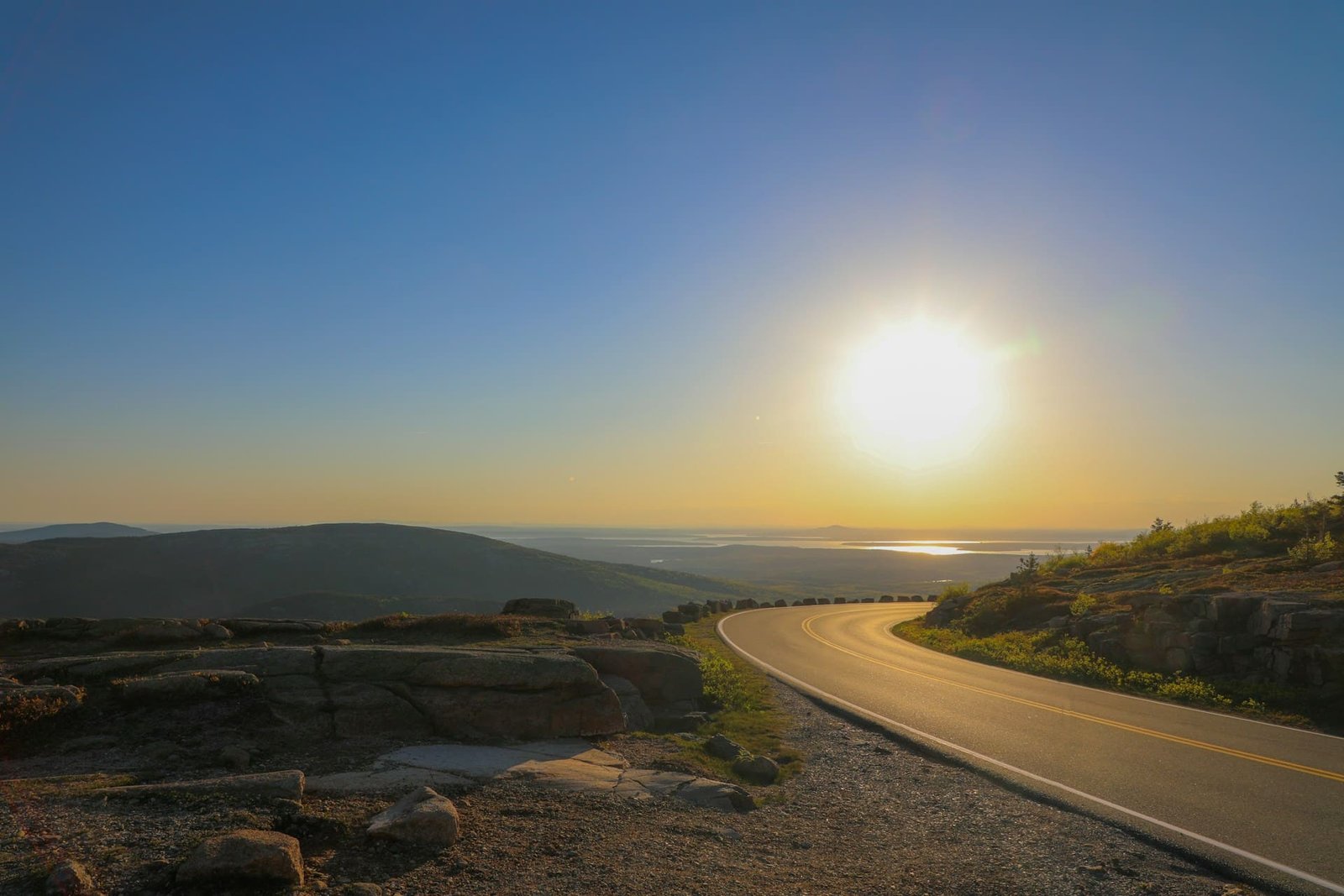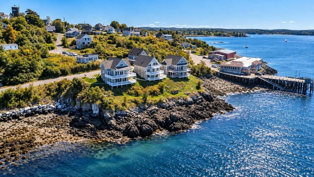
The Bold Coast Scenic Byway runs about 125 miles along Maine’s Downeast coast, from Milbridge to Eastport.
It traces U.S. Route 1 and connecting state roads through Washington County, one of the least developed and least visited stretches of the entire Eastern Seaboard. Human settlement here goes back roughly 12,000 years, and the route still carries traces of that long history alongside working fishing villages that harvest lobster, scallops, and groundfish much the way earlier generations did.
Wild blueberry barrens, tidal marshes, dense coastal forest, and rocky headlands define the drive, along with genuinely dark night skies and some of the most dramatic tides on the East Coast. It received National Scenic Byway status as part of a 2021 round of new designations, alongside two other Maine byways.
Because towns and services are spread out along this stretch, most people spend two to three days here rather than trying to drive it in a single push.
Route Details: Bold Coast Scenic Byway
Milbridge to Cherryfield and Columbia Falls (20 miles)
The byway starts in Milbridge, a small coastal fishing town, and heads inland briefly through Cherryfield, where the Black Woods Scenic Byway intersects this route. This stretch runs through wide blueberry barrens, low shrubby fields that turn deep red in fall and supply a large share of the country’s wild blueberry harvest.
Columbia Falls to Machias (25 miles)
Continuing along Route 1, the byway passes through small Downeast communities before reaching Machias, the Washington County seat and home to the University of Maine at Machias. The town sits near Roque Bluffs State Park, which has both a sand beach and a freshwater pond within walking distance of each other, an unusual pairing for this part of the coast.
Machias to Cutler and Lubec (30 miles)
This stretch reaches Cutler, home to the Bold Coast Trail itself, a rugged hiking trail along dramatic ocean cliffs that gave the byway its name. Lubec, the easternmost town in the contiguous United States, sits at the tip of the mainland near Quoddy Head State Park, home to the candy-striped West Quoddy Head Light, marking the easternmost point in the country.
Lubec to Pembroke and Perry (25 miles)
The route turns to skirt Cobscook Bay, passing Cobscook Bay State Park and the Moosehorn National Wildlife Refuge, both known for tidal wildlife and birdwatching. Reversing Falls Park in Pembroke lets visitors watch the bay’s current visibly change direction near slack tide, a striking effect caused by the area’s extreme tidal range.
Perry to Eastport (15 miles)
The final stretch turns south on Route 190 toward Eastport, the easternmost city in the contiguous United States and home to the deepest natural port on the East Coast. Just offshore in Passamaquoddy Bay sits Old Sow, believed to be the largest tidal whirlpool in the Western Hemisphere. Eastport’s downtown has several museums covering the region’s maritime history, along with restaurants built around the area’s fresh seafood.
Use the trip planner to build a day-by-day itinerary based on your available time and starting point. Given how spread out services are along this route, it’s worth fueling up and planning meal stops in the larger towns rather than assuming options will appear along the way.