
The Bayshore Heritage Byway runs about 122 miles along New Jersey’s Delaware Bay shoreline, from Salem County south to Cape May.
Rather than following one continuous highway, the byway strings together a long sequence of state and county roads, including Route 49, Route 47, and numerous county routes, tracing the bay’s edge through Salem, Cumberland, and Cape May counties. It’s one of eight scenic byways designated by the New Jersey Department of Transportation for outstanding scenic, natural, recreational, or historic significance.
The route passes through 11 historic districts, many of them small waterfront villages built around the region’s oyster and shipbuilding industries. Salt marshes, cedar forests, and farmland alternate with maritime museums, lighthouses, and 18th-century homes, offering a quieter, less-visited side of the Jersey Shore than the boardwalk towns farther north.
Most people spend two days on the route, since the string of small towns and coastal stops reward stopping more than continuous driving.
Route Details: Bayshore Heritage Byway
Mannington Township to Salem (10 miles)
The byway begins near Mannington Township in Salem County, close to Fort Mott State Park, a former Delaware River defense post with river views and picnic areas. Salem, one of New Jersey’s oldest settlements, holds the Hancock House in nearby Hancock’s Bridge, an 18th-century home tied to a Revolutionary War massacre carried out by British troops in 1778.
Salem to Greenwich (25 miles)
This stretch reaches Greenwich, a small colonial town where the Greenwich Tea Burning Monument commemorates a 1774 protest, predating the more famous Boston Tea Party by weeks, when locals burned a shipment of East India tea to protest British taxes. Bridgeton, a few miles inland, has 1,100 acres of parkland at Bridgeton City Park, including the free Cohanzick Zoo, New Jersey’s first zoo, dating to 1934.
Greenwich to Port Norris and Bivalve (20 miles)
The road continues toward the Maurice River, where the Bayshore Center at Bivalve houses both the Delaware Bay Museum and the A.J. Meerwald, New Jersey’s official tall ship, an oyster schooner built in the 1920s that still takes visitors sailing. East Point Lighthouse, reachable by a signed spur road, is a working 1849 lighthouse overlooking the Delaware Bay, one of the oldest still standing in the state.
Port Norris to Dennisville (25 miles)
This stretch of the byway thins out into marshland and forest as it approaches Cape May County. The Turkey Point Viewing Area has a footbridge leading to an observation platform over a wide salt marsh, cedar stands, and bayberry thickets, a good stop for birdwatchers during spring and fall migrations. Dennisville, a small historic village, marks the transition toward the more developed towns near Cape May.
Dennisville to Cape May (35 miles)
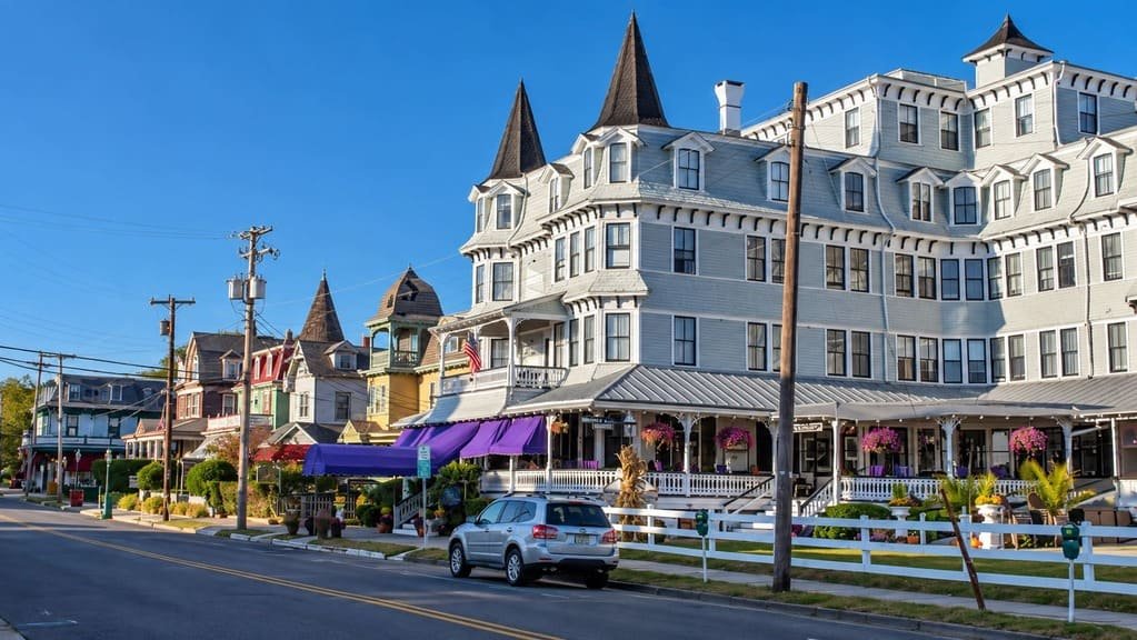
The final stretch reaches Cape May, the byway’s southern terminus and one of the oldest seaside resort towns in the country. Historic Cold Spring Village, the state’s largest open-air living history museum, recreates a 19th-century South Jersey farming village with costumed interpreters and working craft demonstrations. The Cape May Lighthouse, still an active aid to navigation, caps the drive at the state’s southernmost point.
Use the trip planner to build a day-by-day itinerary based on your available time and starting point. Since the byway follows a long chain of connected roads rather than one highway, following the posted byway signage is more reliable than any single route number.